
Brown's New Plan of Hull
Hull and London: A. Brown & Sons, Ltd. Stapled Binding.
Large fold-out map repaired at one seam with tissue.
Showing at a glance the extended city boundary, parliamentary divisions, municipal wards and new streets.
Hull and London: A. Brown & Sons, Ltd. Stapled Binding.
Large fold-out map repaired at one seam with tissue.
Showing at a glance the extended city boundary, parliamentary divisions, municipal wards and new streets.
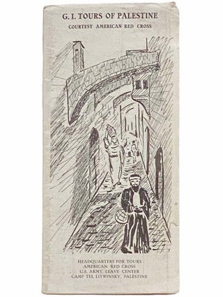
Palestine: American Red Cross, 1950. Soft Cover.
General light wear, no tears and no chips.
A guide produced by the American Red Cross, intended for distribution to U.S. soldiers on leave, and probably produced at Camp Tel Litwinsky in Palestine. Color fold-out map of Jerusalem with another map and descriptions.....
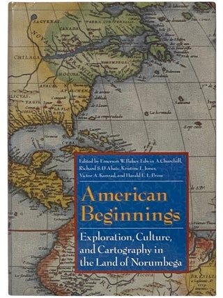
Lincoln: University of Nebraska Press, 1995. First Edition. Hard Cover.
First edition. Rear jacket faintly rubbed.
396 pp. This illustrated collection of essays examines early Native American contact with European explorers, fishermen, and traders in Norumbega , the sixteenth-century name of the Atlantic coast of New England near the Penobscot.....
![Item #2342414 Atlas of Wayne Co. [County] New York. From Actual Surveys and Official Records. D....](https://yesterdaysmuse.cdn.bibliopolis.com/pictures/2342414.jpg?width=320&height=427&fit=bounds&auto=webp&v=1711054002)
Philadelphia: D.G. Beers & Co. / J.H. Toudy & Co., 1874. Worley & Bracher. Large Hardcover.
First edition. Rear joint split and loose, edges heavily worn, large tear across final map (Red Creek), county map edges reinforced with tape that has yellowed, 2 inch closed tear to fold along bottom.....
![Item #2330568 An Atlas of Antient [Ancient] Geography. Samuel Butler](https://yesterdaysmuse.cdn.bibliopolis.com/pictures/2330568.jpg?width=320&height=427&fit=bounds&auto=webp&v=1706726764)
Philadelphia: Carey, Lea & Blanchard, 1838. Half-Leather.
All maps present. 20 maps hand-colored, one uncolored. Boards heavily rubbed with loss from edges, text pages foxed, Perinton Historical Society bookplate on front endpaper.
34 pp. Maroon leather spine and corners, marbled paper over boards, paper title label on front cover, gilt.....
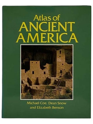
New York: Facts on File, 1989. Reprint. Large Hardcover.
Reprint. Jacket spine faded, light edge wear.
240 pp. Three leading scholars present the history, art and archaeology of the Americas' native cultures. Includes: 56 maps specifically drawn, 233 color illustrations, 96 black and white illustrations, 25 site features, and 20.....
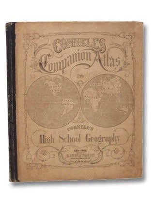
New York: D. Appleton and Company, 1864. Large Hardcover.
1864 printing. Boards toned and lightly rubbed, ink named and town on front endpaper (dated Jan 1st 1865), small newspaper clipping mounted on opposite endpaper, endpapers lightly foxed, cube sketched in pencil on rear endpaper.
[36], 8 pp. A collection of.....
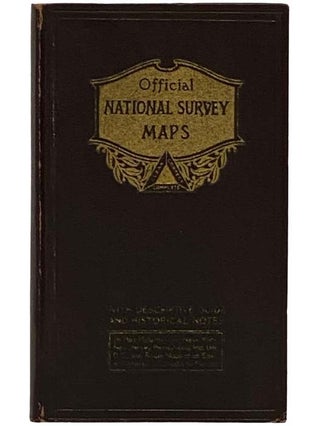
Chester, Vermont / Philadelphia, PA. The National Survey Co., 1925. Hard Cover.
Edges lightly rubbed with two minor smudges on rear board, binding tight, pages clean and unmarked.
149 pp., with additional sections labeled numerically and alphabetically. Flexible dark brown boards, gilt titles and decorations. A volume of national survey.....
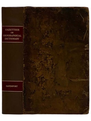
Philadelphia: B. Davenport & Co., 1838. Full-Leather.
1838 printing, a revised and expanded edition of the 1832 edition. Different editions of this title include significantly different maps, and the version published by Davenport in Philadelphia seems to include only one map, while the Baltimore edition published by George M'Dowell &.....
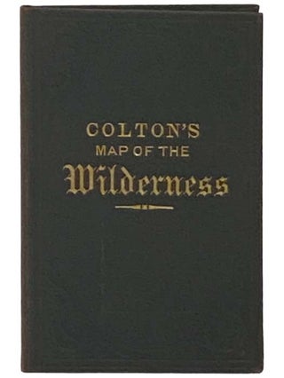
New York: C.W. and C.B. Colton & Co., 1881. Revised Edition. Small Hard Cover.
Scarce, ~10 copies in OCLC. Spine faded, map faintly toned but complete and clean without stains or tears, light spot on top edge of front endpaper.
A large 40-panel folding map of New York State in.....
![Item #2313026 New Century Atlas of Counties of the State of New York [Plat Book]. Everts...](https://yesterdaysmuse.cdn.bibliopolis.com/pictures/2313026.jpg?width=320&height=427&fit=bounds&auto=webp&v=1706726171)
New York / Philadelphia: Everts Publishing Co., 1912. Three-Quarter Leather.
Complete with all maps. Repaired with what appears to be a new leather spine and corners (in different colors), though not properly rebacked but rather affixed to the binding edge with adhesive of some sort. Somewhat crude, but not poorly.....
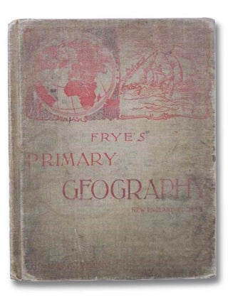
Boston: Ginn and Company, 1897. Large Hardcover.
No jacket. Board edges rubbed, boards lightly soiled, ink name on front paste-down endpaper, some pencil markings throughout.
vii, 136 pp. Color maps. Engraved illustrations. CONTENTS: Home Geography; The Earth; Slopes of the Earth; South America; North America; Asia; Europe; Africa; Australia; People;.....
Philadelphia, PA: G.M. Hopkins Co, 1935. Half-Leather.
All volumes complete, with thumb tabs intact. Interiors clean and bright, mainly aesthetic wear to spines and corners, though volume 2 has minor loss from the spine head and foot. Overall an excellent set of books that are very seldom found together.
Complete.....
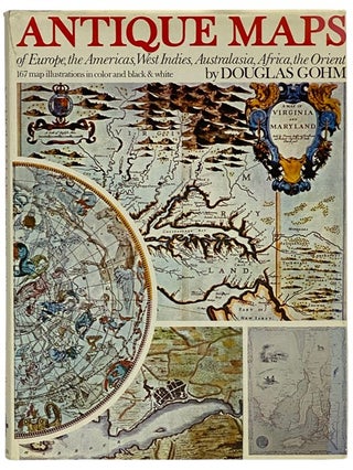
London: Octopus Books, 1972. Large Hardcover.
Front hinge just starting.
128 pp. A collection of maps dating from the early days of map-making through the 17th century.
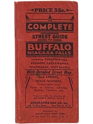
New York: Geographia Map Co., Inc., 1951. Stapled Binding.
Lacks map. Pages stained and soiled, wrappers creased and rubbed.
183 pp. Authentic information on all streets, house numbers at cross streets, with clear guidelines as to the exact bus line to reach any street desired. Transportation lines, places of interest.....
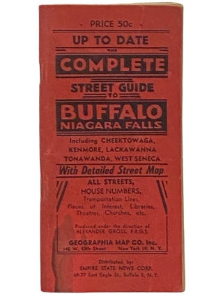
New York: Geographia Map Co., Inc., 1958. Stapled Binding.
Lacks map. Stained, wrappers creased, surface tear on rear wrapper verso.
183 pp. Authentic information on all streets, house numbers at cross streets, with clear guidelines as to the exact bus line to reach any street desired. Transportation lines, places of.....
New York: Geographia Map Co., Inc., 1961. Stapled Binding.
Lacks map. Wrappers rubbed and creased, page ridges soiled.
183 pp. Authentic information on all streets, house numbers at cross streets, with clear guidelines as to the exact bus line to reach any street desired. Transportation lines, places of interest, libraries.....
Manchester: John Heywood, Ltd. Soft Cover.
Small stain on front wrapper, a couple small tears to edges.
Scale half-an-inch to a mile. Reduced from the New Ordnance Survey and thoroughly revised to date. Large fold-out map with index.
Scranton: International Textbook Company, 1906. Hard Cover.
No jacket. Ink stamp on title page, minor general wear.
A Series of Textbooks Prepared for the Students of the International Correspondence Schools and Containing in Permanent Form the Instruction Papers, Examination Questions, and Keys Used in Their Various Courses - Arithmetic, Spelling.....
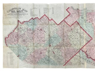
Condit, Ohio: J.A. Caldwell & Co., 1878. Unbound.
Ink note regarding scale on left margin, tiny internal tear along top edge, splits beginning at intersections of folds at two points, otherwise surprisingly well-preserved.
118 1/8 x 31 5/16. An enormous color map (over nine feet wide) showing the presence of.....
New York and Philadelphia: J.M. Lathrop & Co., 1900. Three-Quarter Leather.
Complete, though Plate 16 is loose, and Plate 19 is splitting down the center fold. Edges heavily rubbed with spine absent and some loss from corners, paper label taped to spine, minor chips and tears to margins of a......
New York and Philadelphia: J.M. Lathrop & Co., 1900. Large Hardcover.
Rebacked with new corners and end sheets, maps reinforced at binding edge. One half of plate 8 loose but included. Discoloration along board edges, ink name on front endpaper, thumb tabs all absent.
Maroon leather spine and corners over.....
New York: Martin Wehle, 1974. Facsimile. Large Hardcover.
1974 facsimile of 1875 original. Number 196 of 300 copies, signed and numbered by publisher. No jacket. A few light smudges on boards, endpapers lightly foxed.
Atlas of Chenango County, New York with full page and fold-out maps.
Indianapolis: National Map Company, 1929. Reprint. Large Softcover.
'Edition 1283.' Corners worn, covers a bit soiled, crease to bottom corner.
xlviii, 29-116 pp. Fabricoid cover over post-bound text block. Ten publisher coupons for ordering of revised maps bound in after text. A particularly important road atlas, in that it is.....
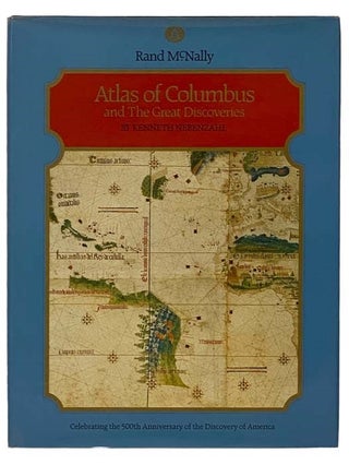
Chicago: Rand McNally & Company, 1990. Book Club (BCE/BOMC). Large Hardcover.
Book club edition. 2 inch stain on edge of rear board and jacket, top edge foxed.
168 pp. Color reproductions of fifty maps from the fifteenth and sixteenth centuries, providing cartographic context for the period, and describing the 'discovery'.....