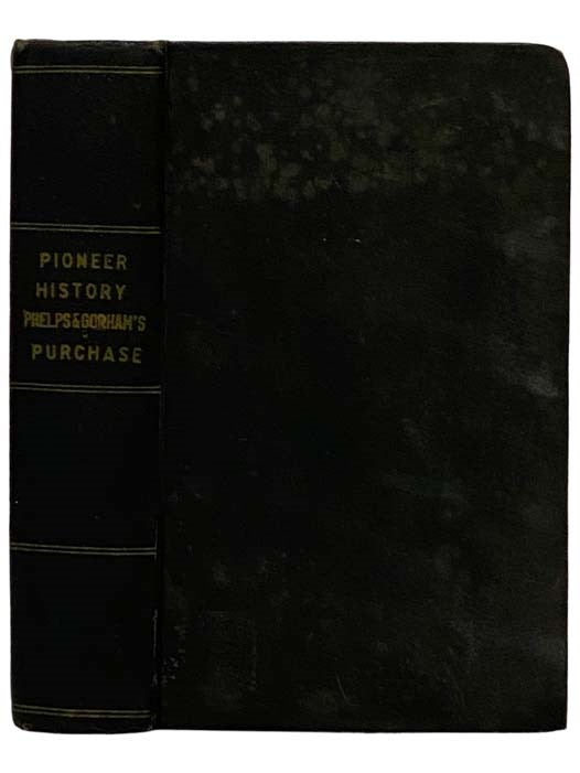
History of the Pioneer Settlement of Phelps and Gorham's Purchase, and Morris' Reserve; Embracing the Counties of Monroe, Ontario, Livingston, Yates, Steuben, Most of Wayne and Allegany, and Parts of Orleans, Genesee and Wyoming, to Which is Added, a Supplement, or Extension of the Pioneer History of Monroe County. The Whole Preceded by Some Account of French and English Dominion - Border Wars of the Revolution - Indian Councils and Land Cessions - The Progress of Settlement Westward from the Valley of the Mohawk - Early Difficulties with the Indians - Our Immediate Predecessors the Senecas - With 'A Glance at the Iroquois'
Rochester: William Alling / Erastus Darrow, 1870. Reprint. Hard Cover. Good / No Jacket. Item #2329269
Reprint, with new publisher information placed over William Alling's information on title and copyright pages. Rebound with new end sheets. Moderately foxed throughout, boards foxed and soiled, ink name stamps inside.
viii, 624 pp. 8vo. Sabin 97489. Original red-brown blind-stamped cloth, gilt titles. The Phelps and Gorham Purchase was the purchase in 1788 of the pre-emptive right to some 6,000,000 acres (24,000 km²) of land in western New York State for $1,000,000 (roughly equivalent to $20,000,000,000 in 2005). This was all land in western New York west of Seneca Lake between Lake Ontario and the Pennsylvania border. The purchasers were Oliver Phelps and Nathaniel Gorham, both of Massachusetts, and the seller was the Commonwealth of Massachusetts. (In some discussions of this subject elsewhere, the Phelps and Gorham Purchase refers to all 6,000,000 acres (24,000 km²) and in others it refers only to the 2,250,000 acres (9,100 km²) upon which Phelps and Gorham managed to extinguish Indian title. This comes about because although Phelps and Gorham purchased pre-emptive rights to all 6,000,000 acres (24,000 km²;), they were only able to extinguish Indian rights — and obtain clear title — to the portion east of the Genesee River.) Following the American Revolution, western New York was opened up for development as soon as New York and Massachusetts compromised and settled their competing claims for the area in December 1786 by the Treaty of Hartford. The compromise was that, while New York would have sovereignty over the land, Massachusetts would have the 'pre-emptive' right to obtain title from the Indians. By act of the Massachusetts Legislature, approved April 1, 1788 (Laws and Res. 1786-87, c. 135, p. 900), it was provided that 'this Commonwealth doth hereby agree, to grant, sell & convey' to Oliver Phelps and Nathaniel Gorham, for a purchase price was $1,000,000, payable in three equal annual instalments of certain Massachusetts securities then worth about 20 cents on the dollar. , 'all the Right, Title & Demand, which the said Commonwealth has in & to the said Western Territory' ceded to it by the Treaty of Hartford. Phelps and Gorham wasted no time in exploiting their purchase. On July 8, 1788, Phelps and Gorham met with Indians of the Five Indian Nations of the Iroquois Confederacy (including Mohawks, Oneidas, Onandagas, Cayugas, and Senecas) at Buffalo Creek to execute a deed or treaty for rights to a portion of their land. The description embraces only approximately the east one-third of the territory ceded to Massachusetts by the Treaty of Hartford, from the Genesee River as the west boundary to a point 'in the north boundary line of the State of Pennsylvania in the parallel of forty-two degrees north latitude at a point distant eighty-two miles west from the northeast corner of Pennsylvania on Delaware river.' (the Preemption Line). In addition, the agreement included a small tract of lands west of the Genesee running south from Lake Ontario approximately 24 miles (39 km) and extending west from the river 12 miles (19 km) from 'the westernmost bend of the Genesee,' with this western boundary paralleling the course of the Genesee. This 184,300 acre (746 km²) tract west of the Genesee was known as The Mill Yard Tract, so named because Phelps and Gorham asked the Indians for land west of the Genesee at the Falls so they could build a sawmill and gristmill. For this extinction of title, Phelps and Gorham paid the Indians $5,000, plus an annuity of $500. The area to which title was extinguished comprised some 2,250,000 acres (9,100 km²), including the Mill Yard Tract. Due to Phelps and Gorham's default on the 1790 instalment, the preemptive right to lands of the Phelps and Gorham Purchase west of the Genesee River, comprising some 3,750,000 acres (15,000 km²), reverted back to Massachusetts on March 10, 1791. On March 12, 1791, Massachusetts agreed to sell the pre-emptive right to the lands west of the Genesee to Robert Morris for $333,333,33. The land was conveyed to Morris in five deeds on May 11, 1791. At that time, Morris was the richest man in America, as well as a signer of the Declaration of Independence and financier of the American
Price: $95.00
