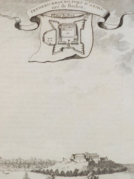
1747 Plan from Prevost's 'Histoire Generale des Voyages': Profile Map and Plan of Frederickbourg Fort d'Anois. Gre de Barbot; Plant du Fort
. [A La Haye : Chez Pierre de Hondt], 1747. Print. Near Fine. Item #1665762
Matted and reading for framing. Faint smudge to bottom corner.
Matted to 9 1/2 x 7 (mat measures 11 5/8 x 9). Labeled T. III. No. XI, indicating position in the original work. French text. A small birds'-eye view of the fort with a profile view of the fort and the settlement it defends from the water. The village is labeled 'Vilage de Pocquese', and the hill upon which the fort rests is labeled 'Mont de Manfre'. The fort plan shows a residence labeled 'Maison du Gouverneur' surrounded by four diamond bastions, with a large addition protruding from the west wall. The main gate is in the south wall, which faces the water.
Price: $40.00
