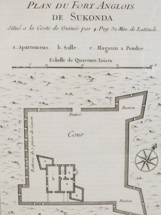
1747 Plan from Prevost's 'Histoire Generale des Voyages': Plan du Fort Anglois de Sukonda, Situe a la Coste de Guinee par 4. Deg. 32. Min. de Latitude
. [A La Haye : Chez Pierre de Hondt], 1747. Print. Near Fine. Item #1665735
Matted and ready for framing. An exceptional example.
Matted to 9 x 6 3/4 (mat measures 11 5/8 x 9). Labeled Tome IV. No. 3, indicating position in the original work. French text. A birds'-eye view, complete with scale and latitudinal coordinates, of a fairly simple fortification, rectangular with two diamond bastions on the eastern corners. Numerous batteries for canonry, and an interior structure consisting of several apartments, a common room and a powder magazine.
Price: $40.00
See all items by Prevost
