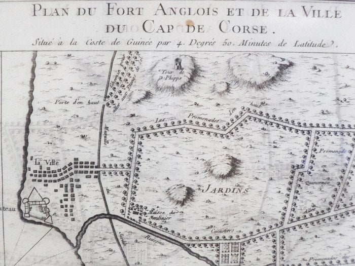
1747 Plan from Prevost's 'Histoire Generale des Voyages': Plan du Fort Anglois et de la Ville du Cap de Corse, Situe a la Coste de Guinee par 4. Degres 50. Minutes de Latitude
. [A La Haye : Chez Pierre de Hondt], 1747. Print. Near Fine. Item #1665585
Matted and ready for framing. Single vertical crease down middle, tiny spot above the 'd' in Cap de Corse, some transfer from opposite page of text. Still about near fine.
Matted to 7 x 10 (mat measures 11 3/4 x 15). Labeled Tome IV. No. 6, indicating position in the original work. French text. A birds'-eye view of the fort complete with scale and latitudinal coordinates. A large structure labeled 'le Chateau' sits in a corner along the coast, bordering the ocean on two sides, with a river emptying into the ocean a bit further south along the coast. The design appears fairly traditional despite the year, with fewer triangular elements than are generally used in artillery defense.
Price: $40.00
