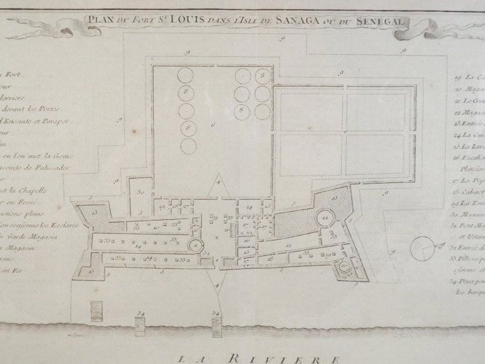
1747 Plan from Prevost's 'Histoire Generale des Voyages': Plan du Fort St Louis Dans L'Isle de Sanaga ou du Senegal
. [A La Haye : Chez Pierre de Hondt], 1747. Print. Near Fine. Item #1665557
Single vertical crease down center, a few faint traces of foxing, still about near fine.
Single sheet matted to about 9 x 13 (mat measures about 14 3/4 x 18). An extensively labeled overhead view of a French colonial fort along a river in Senegal, detailing the use of each area, from magazines to the area in which slaves were kept. French text, scale along bottom. Bottom corner labeled 'Tom. II. No. 24', indicating the position of the plate within the original text.
Price: $40.00
See all items by Prevost
